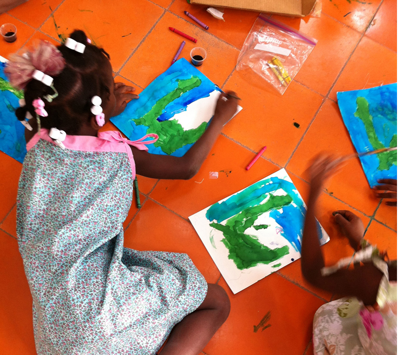
 Learning about one’s home and geography is fundamental to many studies, so the children we visited at OJFA and Pastor Jules’ orphanage got a chance make their own map of Haiti. Starting with a lightly printed outline of Haiti on a piece of watercolor paper, children were asked to use crayons to add mountains, trees and more to the land, and ocean animals to the sea. Blue and green liquid watercolor paint finished off their art.
In the future, we plan to work with a translator so more time can be spent talking about major cities and where they are located. This was a fun project that has many learning possibilites.